



Last updated September 15, 2026.
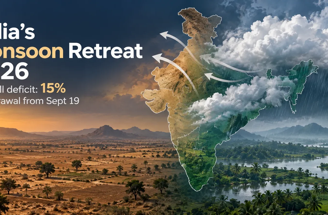
India’s southwest monsoon is finally on its way out. The India Meteorological Department said on September 14 that “conditions are becoming favourable for withdrawal of Southwest Monsoon from some parts of West Rajasthan around September 19, 2026” — two days after the department’s own normal date of September 17. It caps a season that never fully closed its rainfall gap: the all-India deficit stood at 15% as of the same date.
A late, uneven exit
Withdrawal doesn’t mean the rain stops everywhere at once — it starts in the driest northwestern corner and creeps southeast over weeks, with the monsoon typically gone from the whole country only by early October. Before that retreat begins, IMD flagged one more round of rain: Jammu, Kashmir, Ladakh and Gilgit-Baltistan through September 17, Punjab, Haryana and Delhi on September 16–17, and isolated showers over Rajasthan through September 17 and Uttar Pradesh through September 18. A low-pressure area over southwest Madhya Pradesh and an upper-air circulation near Odisha and West Bengal are driving this last push before drier air takes over.
Where the season fell short
A 15% national shortfall hides a lot of regional unevenness. As of September 7, the south peninsula was carrying the worst of it at 27% below normal — the steepest deficit of any region this season. By mid-September, IMD data put the south peninsula at roughly 28% short and east and northeast India at 25%, while the northwest and central belt had narrowed their gaps to something closer to single digits. In practice, that means states like Kerala, Karnataka, and the northeastern hill states had a noticeably drier season than Punjab, Haryana, or central India.
The unevenness showed up earlier in the season too. As of late July, kharif sowing was still trailing the previous year’s pace by 3.88 million hectares, according to the US Department of Agriculture’s Foreign Agricultural Service, with growers in Maharashtra’s Marathwada and Vidarbha regions facing the toughest combination of patchy rain and elevated temperatures.
What this means for you
- In Punjab, Haryana, Delhi-NCR, J&K, or Rajasthan: expect a wet few days through roughly September 17–18, then a shift toward dry, warmer conditions as withdrawal begins.
- Farmers finishing kharif harvest or planning rabi sowing: the timing of withdrawal — and how much rain arrives before it — matters more for soil moisture than the season’s average deficit number.
- Travelers in South India or the Northeast: don’t assume the season’s dry-side numbers mean clear skies everywhere; regional and local rainfall can still vary sharply from the season-long average.
- Delhi-NCR residents: dry weather after withdrawal is also the seasonal hinge into North India’s winter pollution stretch, when stagnant air and lower rainfall let particulate levels climb — worth watching your local AQI more closely from late September on.
Withdrawal is a process, not a single day — and this year’s version is starting late, ending an uneven season that treated the south and the northeast far worse than the north and center.
Data to watch
A cumulative rainfall line chart (June 1–September 14) plotting India’s actual rainfall against the long-period average, with a second panel breaking out the same comparison for the south peninsula, east/northeast, and northwest regions, would show where the gap opened widest.
A horizontal bar chart of regional rainfall deficits as of mid-September (south peninsula, east/northeast, northwest, central) would make the unevenness immediately visible.
Related reading
- Why AQI numbers differ by country
- What is PM2.5, and why it matters most
Sources
- India Meteorological Department. (2026, September 14). Press release on Southwest Monsoon withdrawal conditions. mausam.imd.gov.in.
- Newstrack. (2026, September 14). Monsoon withdrawal from Sept 19: IMD says rain deficit remains at 15%.
- Business Standard. (2026, September 8). Southern India leads with 27% monsoon deficit till September 7.
- US Department of Agriculture, Foreign Agricultural Service. (2026, August). India: Monsoon Recovery Fails to Boost Sluggish Crop Planting.
This post was researched and fact-checked against the official sources listed above, including IMD’s own monsoon bulletins. It’s reviewed by our editorial team before publishing, and we’ll update it if withdrawal timing or seasonal totals change.


